Travel Journal: Kominato Village & the Itsukushima Shrine
Much of my work on Amami Oshima involves giving travel advice to visitors who have just arrived on the island. Sometimes, an inquisitive guest will ask where I personally like to go on my days off. As honoured as I am to be asked, the reality is that I always find myself coming back to places which are off the beaten path, and difficult to access without a car. Entering them with an existing knowledge of the island can enhance their fascination; indeed, the more you know the island, the more these places speak to you.
These picturesque windows into Amami’s history and culture are not the tourist heavy-hitters that you can confidently recommend to someone who’s only on the island for a few hours, as our cruise ship guests often are.
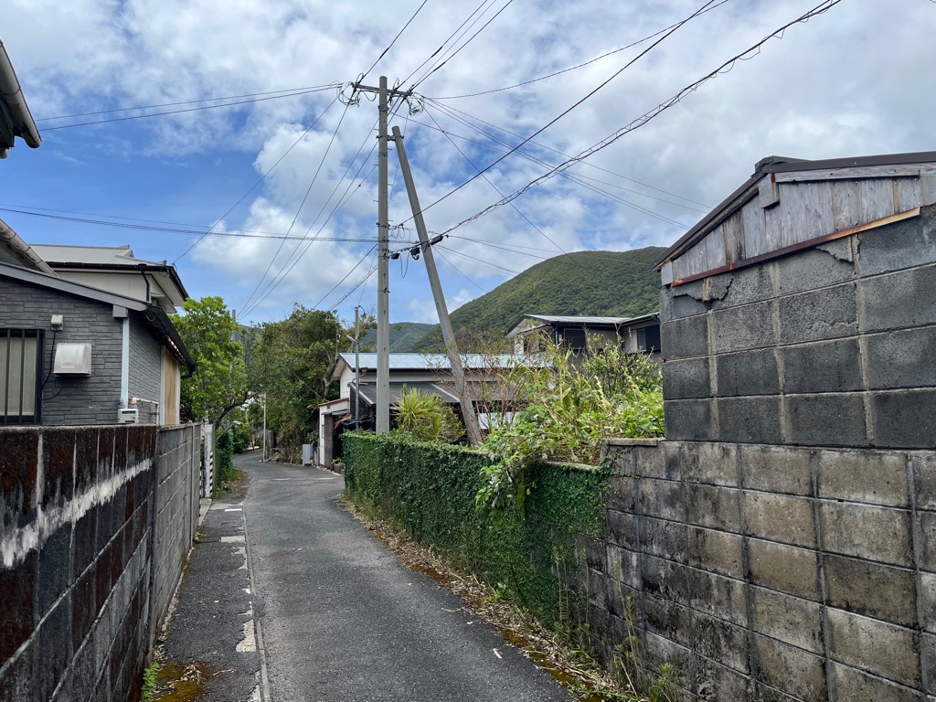
Residential road in Kominato village.
Kominato is one such place: a town located just south of Naze, in the center of the island. It’s located on the coast, quite far from the main road. It's the kind of place that my mind pictured when I discovered that I'd be living on Amami Oshima. The air is rich with a mixture of ocean salt and the mountain breeze
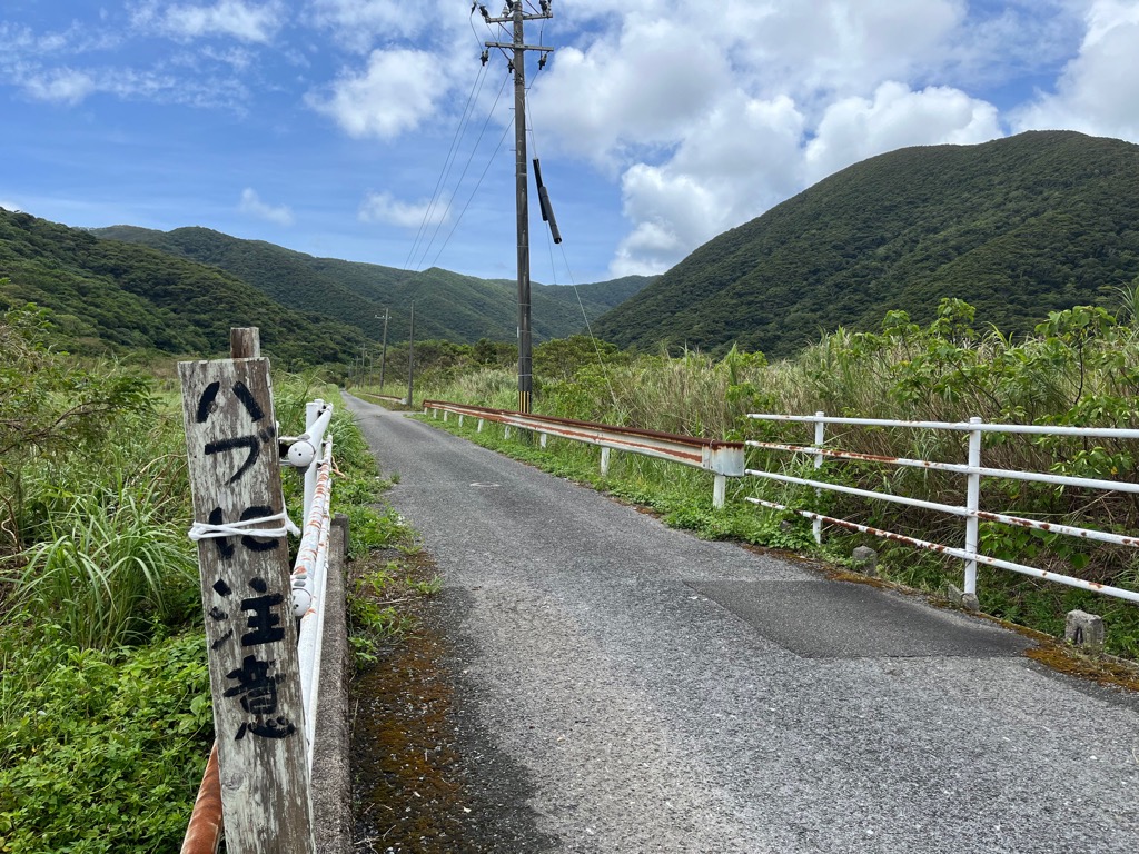
Fields on the southern end of Kominato, facing away from the village. The sign warns us to watch out for snakes.
The more I learn about the town, the more fascinated I am. The area is rich with archeological finds from Amami’s early history, and it’s not hard to see why. On an island mostly occupied by mountain landscapes, here you’ll find (relatively) flat ground; wide open fields: and a long, gentle beach perfect for seafaring. The geography seems so perfect that I always wonder why it never developed into one of the island’s main communities.
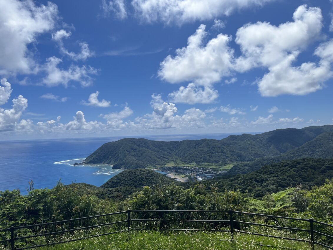
Kominato as seen above from the Sakibaru Observation Point
After all, it seemed to be on that path. During the Aji Period (9th-14th centuries) – when the island was divided into independent fiefdoms – one lord made Kominato his home, and it is believed that this was what spurred its growth. The first elementary school on Amami was opened here in July 1872, several months before one was built in Naze. Before the island was reorganised into modern municipalities in 1908, Kominato was the administrative center for the Komikata district- a holdover unit from the island's Ryukyuan era (1447-1609)
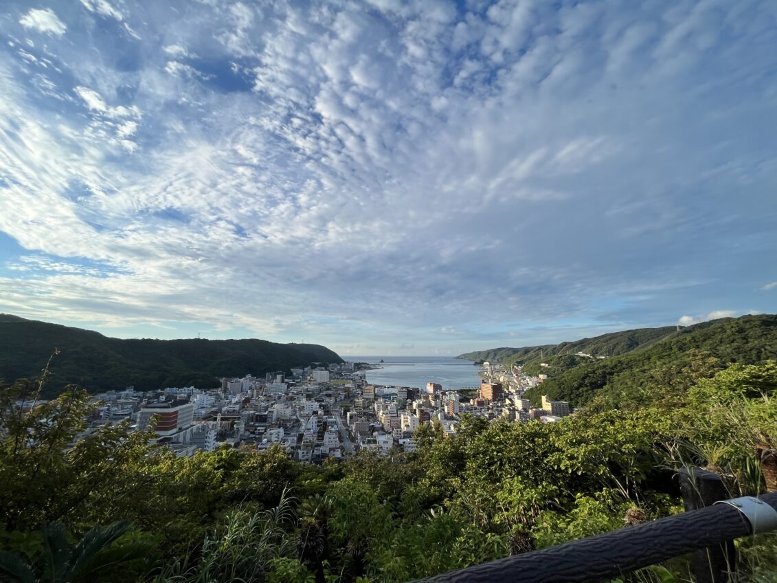
The bay of Naze, Amami City, seen from Ogamiyama Park. Note how it extends far inwards, offering greater protection from the waves.
So, why has Kominato not grown to rival the island’s larger settlements? I can only speculate that its position on the Pacific coast, facing away from Japan and the nearby islands, worked against it. By contrast, Naze’s deep harbour and favourable position along the East China Sea must have been more valuable in the long-term.
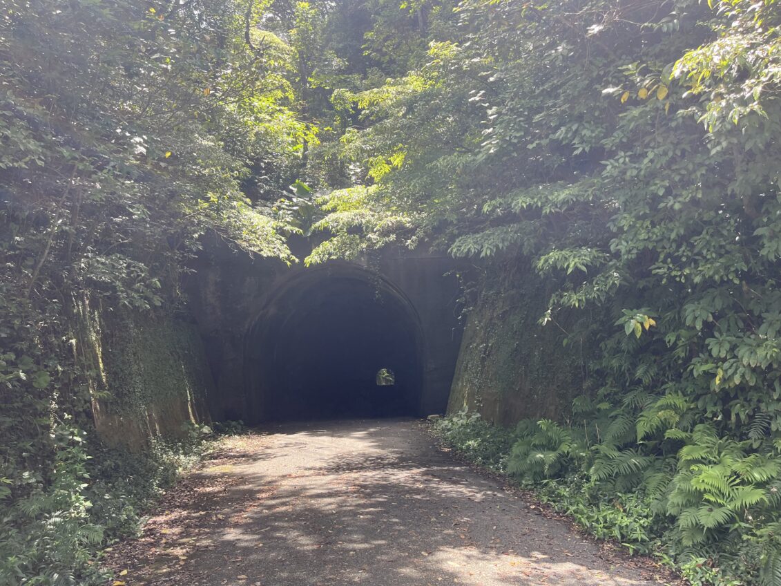
The Naze Tunnel, built in 1957. was once part of a main route connecting Naze to Kominato and the rest of the island. Today, it is accessible via the old mountain road, but hardly used.
A more recent factor would have been the construction of the Asato Tunnel in 1993. Unlike the former mountain road which preceded it, today’s route almost completely bypasses the village, and so traffic doesn’t naturally flow through Kominato as it did in the past.
A Visit to Itsukushima Shrine
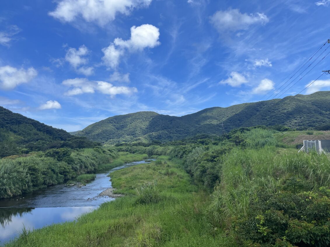
The Ogawa River, which flows all the way to the coast from the distant outskirts of Kominato.
Recently, I decided to go again. This was only my third time visiting the town. The first was just about a year prior, in August 2025, when I walked across the mountains – a four-hour trek - from Naze to get there. Of course, I had to immediately head back, lest I get caught in the mountains at night, when the Habu snakes are most active. The second time was on a cool winter morning, when silvery clouds and chilly breeze helped wash away the memories of the previous night.
I came to get away from the city, as always: but I also wanted to revisit Kominato’s shrine. I hardly took pictures when I visited in February, and there were some places I didn’t explore that time.
A Word on Amami's Shrines
Shrines on Amami Oshima follow a striking pattern; they are almost always built on hills or mountainsides some distance outside of town.
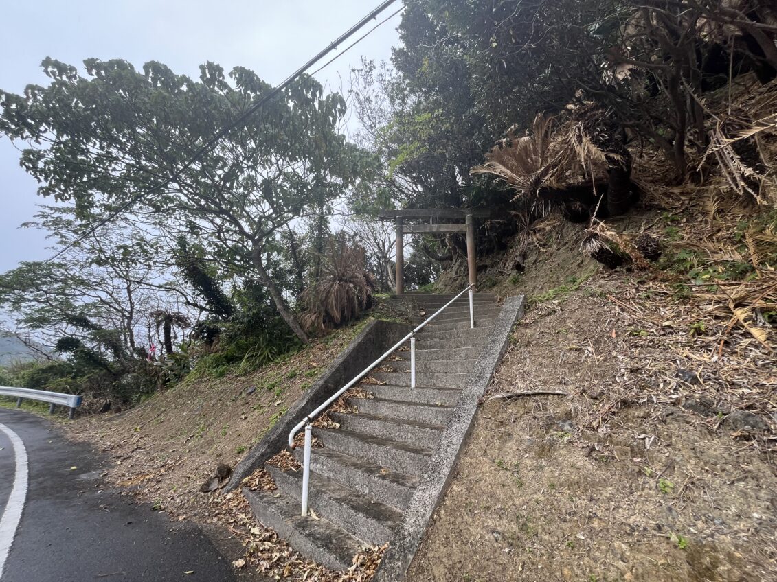
The town shrine for Hirata, a small hamlet in Uken Village.
I have to imagine the traditional animistic faith on Amami influenced the location of these shrines. The old belief – which formed in Amami’s prehistory and continues to be practiced today - was that gods lived atop the mountains, and would descend to visit the villages on occasion. The islanders, therefore, worshipped in the nearby hills - a meeting place between the human and spirit worlds.
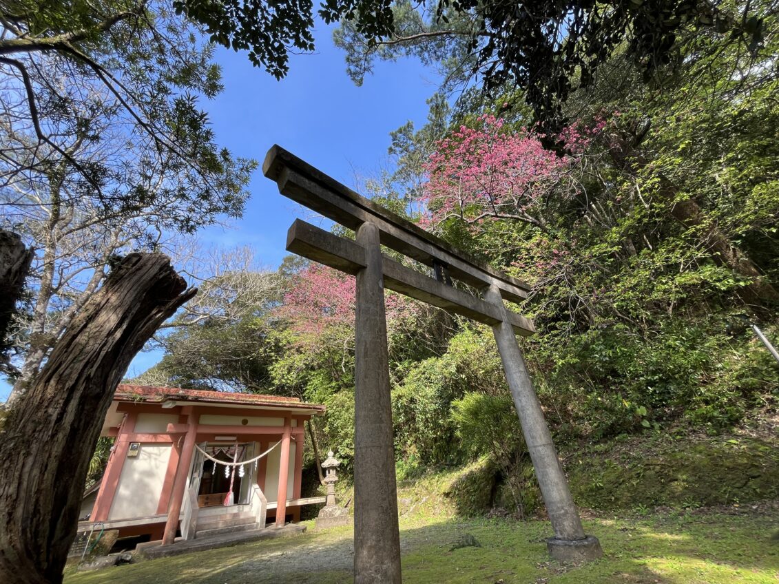
Hiratomi Shrine, one of the oldest on the island (Ongachi, Yamato Village)
Thus, following the Meiji Period (1867-1912), when the Japanese government began promoting Shinto as the Japanese state religion, it’s not surprising that the Amami islanders would choose locations which already served as spiritual boundaries to build shrines on.
On the mainland, I’d often encounter shrines by chance in the middle of city streets or suburban neighborhoods, lined up right alongside homes and other buildings. But on Amami, the town shrine – almost every village has just one – is somewhat removed from the town itself, and always elevated. The only example I know of which breaks this pattern is the hamlet of Shodon, on Kakeromajima, which has its shrine close to the sea.
Within this meeting place of traditional and Shinto beliefs which come together in every shrine on Amami, Kominato's Itsukushima Shrine stands out for its even longer, more complicated history as a meeting place of multiple spiritualities.
Arrival
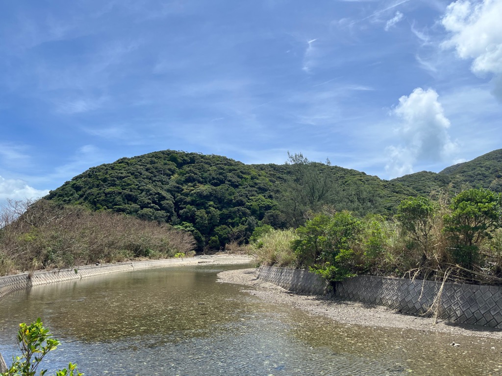
The hill on which Itsukushima Shrine lies, as viewed from the town below.
The Itsukushima Shrine follows the pattern I mentioned above: it’s up on a gentle hill a good distance away from the village center. It was a good ten-minute walk from where I parked in town, but the fresh air made had me enjoying every minute of the trek. Almost hidden on the side of a small farming road, the shrine's sloped entrance is marked by a large torii gate.
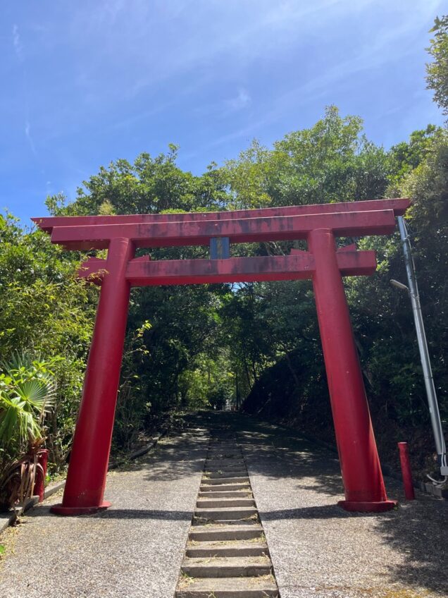
The torii gate guarding the shrine.
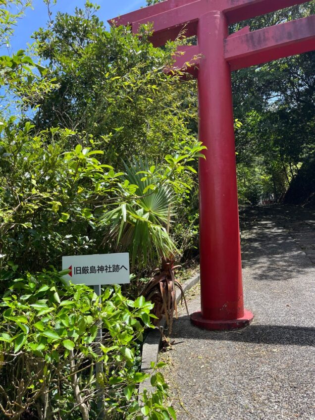
Just beside the gate, there is a small pathway leading downwards, marked as the “former Itsukushima Shrine.” Filled with curiosity, I decided to see where it led, and find out just how deep this shrine’s history lies.
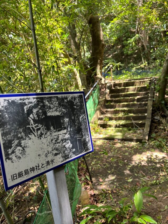
The ruins I found on the page - together with a photograph of the old shrine that once stood here.
The trail was narrow and lined with bamboo – a surprising rarity on Amami. After a few moments of walking, I came across a clearing elevated by a few stairs, and a signpost.

This spot was where the former shrine stood, before it was relocated in 1979.
Where I was standing now was the site of the old Itsukushima Shrine from 1939 until 1979. Before then, it was located even further down, before a combination of floods and frequent typhoons brought it up here.
This was interesting enough, but what a nearby signpost taught me was even more incredible.
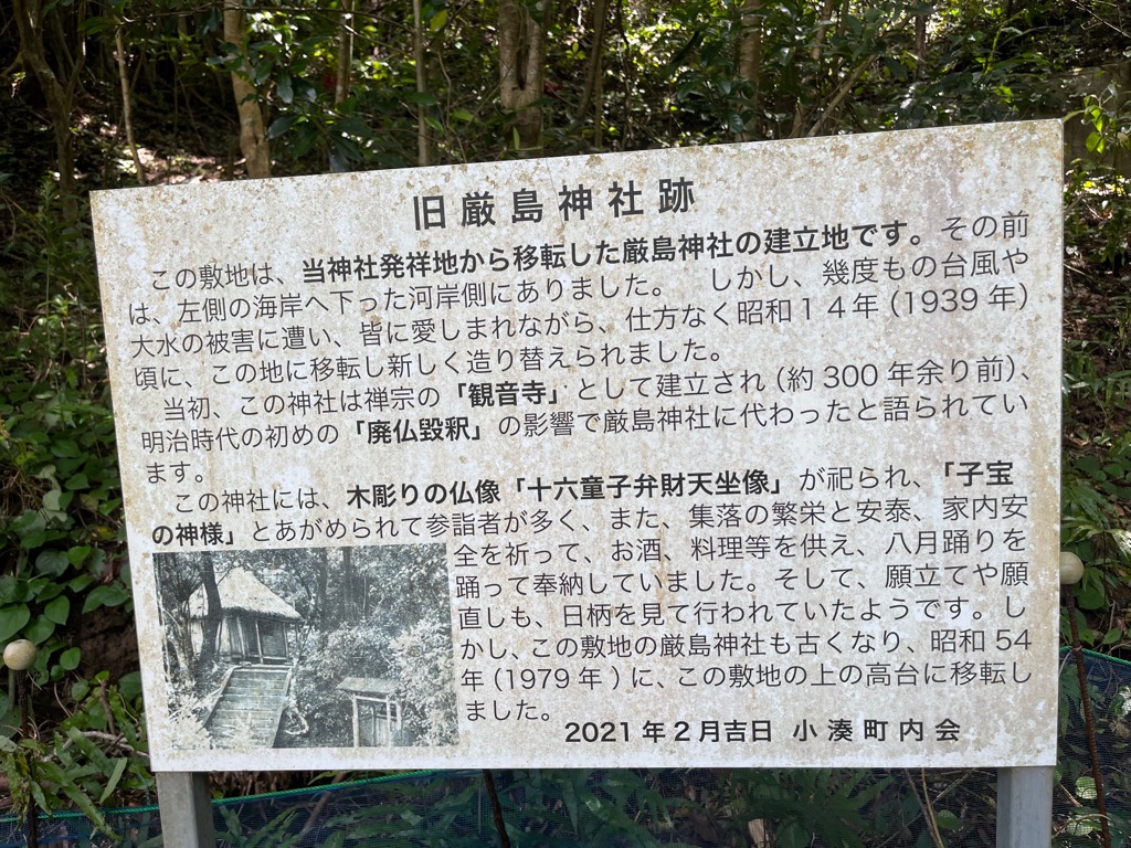
The signpost which explains the history of both the former shrine and the temple which preceded it.
More than 300 years ago, the site was originally a Buddhist temple, by the name of Kanon-ji! This was a terrific surprise to me. In the year I’d spent on Amami so far, I had never heard of a Buddhist temple anywhere on the island – outside of the contemporary ones built in recent decades. Most discussion on religion here is centered on its unique indigenous faith, which takes strong influence from Ryukyuan spirituality.
Most sources I’ve found agree that although the Satsuma government (1609-1867) introduced Buddhism to the island, it was mostly practiced by their own administrators, and had little influence over the islanders. Between this and the new Imperial government suppressing the faith from the 1870s, it’s not hard to see why no temples have been preserved, and the locations of all but the most notable seem to have been forgotten. Kominato's Kanon was no exception, as they say it was turned into a Shinto shrine at the beginning of the Meiji Period.

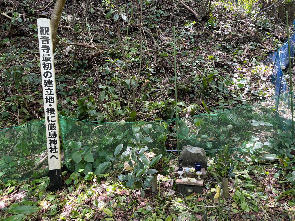
Offerings stand and information pole, which proclaims this to be the location of the Kanon-ji temple, as well as the original site of the Itsukushima Shrine.
The resting place of the former temple lays at the very bottom of the path, in the depths of the forest. I could smell the salt from the ocean a little more clearly from down here. The land remains cleared, with a small offerings stand marking this historic spot. It amazed me that the two former sites have been preserved so well, and their locations from long ago so precisely recorded.

The current shrine complex, built in 1979, houses several Buddhist relics which have remained in the community for centuries.
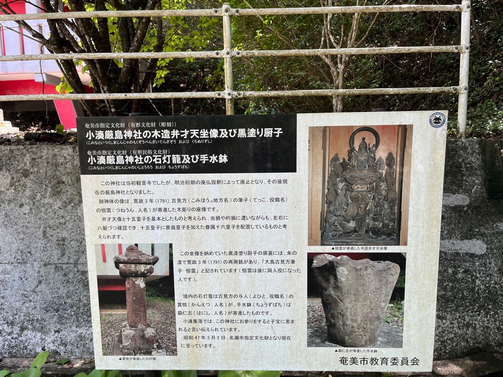
An information plaque near the main structure explains their long history, and the relics themselves can be found flanking the shrine. These trace their history back almost as far as the old temple itself, being from the late 18th century. Today, they are registered as valuable cultural artifacts.
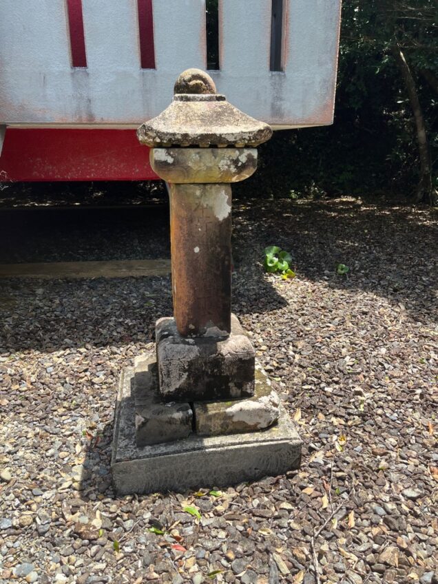
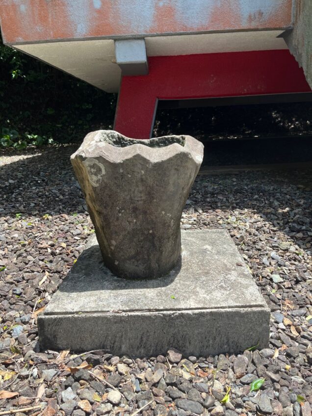
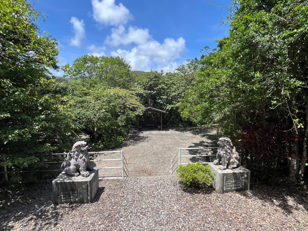
View from the top of the Itsukushima Shrine's main building.
Technically, the shrine ends here – but the adventure to the top doesn’t.
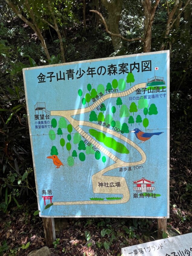
Signpost explaining the route of the Kanekosan Youth Forest.
From here, I entered the “Mount Kaneko Youth Forest” – with a trail that leads to the mountain’s peak.
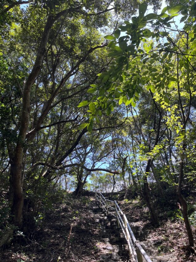
Looking upward towards the peak.
Its name ended up being quite fitting, as I felt myself using all of the youth I had left to merely reach the top! Once there, however, the view really was worth it. Once reaching the top, an elevated viewing platform gives you an incredible view over the hill you’ve just conquered.
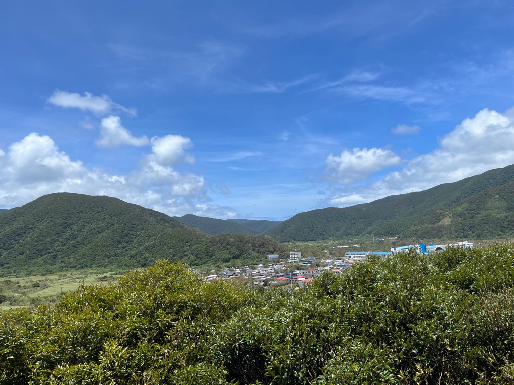
Looking northwest from the top of the viewing platform, towards the town of Kominato.
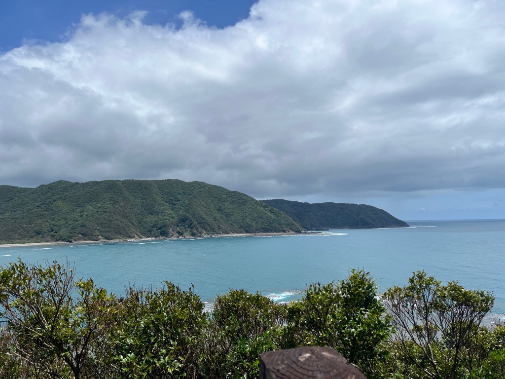
Looking east from the viewing platform.
I was surprised just how blue the water looked that day. Compared to when I climbed in February, it had a completely different appearance.
It never gets cold enough on Amami for the leaves to change colour or fall during the autumn, and so winter can be just as green as the summer. Still adjusting to how different this is from my hometown, I now felt I was beginning to get an idea on how Amami's scenery changes with the seasons.
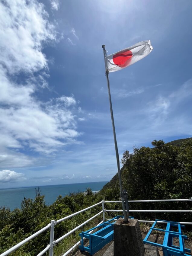
Just a little further and you reach the peak, marked by a beautiful Japanese flag.
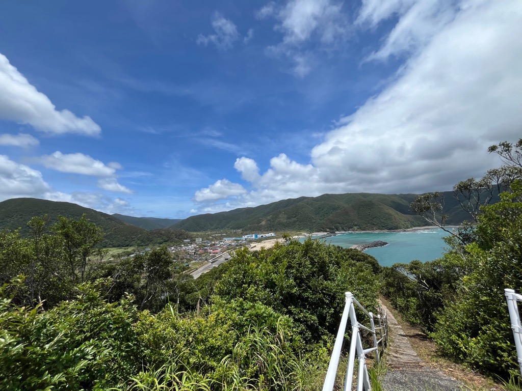
The map from earlier marks this area as a perfect spot to view the rising sun. Given Kominato's position facing East, I can imagine the sunrises from here must look amazing. But the afternoon view alone is worth the climb.
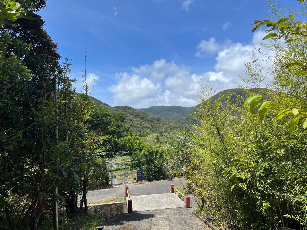
Facing away from the shrine's main entrance.
I left Kominato that afternoon realizing that even after a year on Amami, this big island has no shortage of things left to see. With so many gems like this hidden in the mountains, there is lots of work left to do exploring it.
As a place to visit or even stay, I heavily recommend checking out the town of Kominato for anyone interested in nature, history, or Amami's beautiful coast. Located just outside of Naze's downtown area, it is highly accessible as a half-day trip, providing you have access to an automobile.
WRITER
Iain Lockhart
Third Coordinator of International Relations (CIR) for Amami City
- 【Kominato Ikutsushima Shrine 】
- Google Maps
- 【Kominato Archaeological Site】
- More Information (JP)